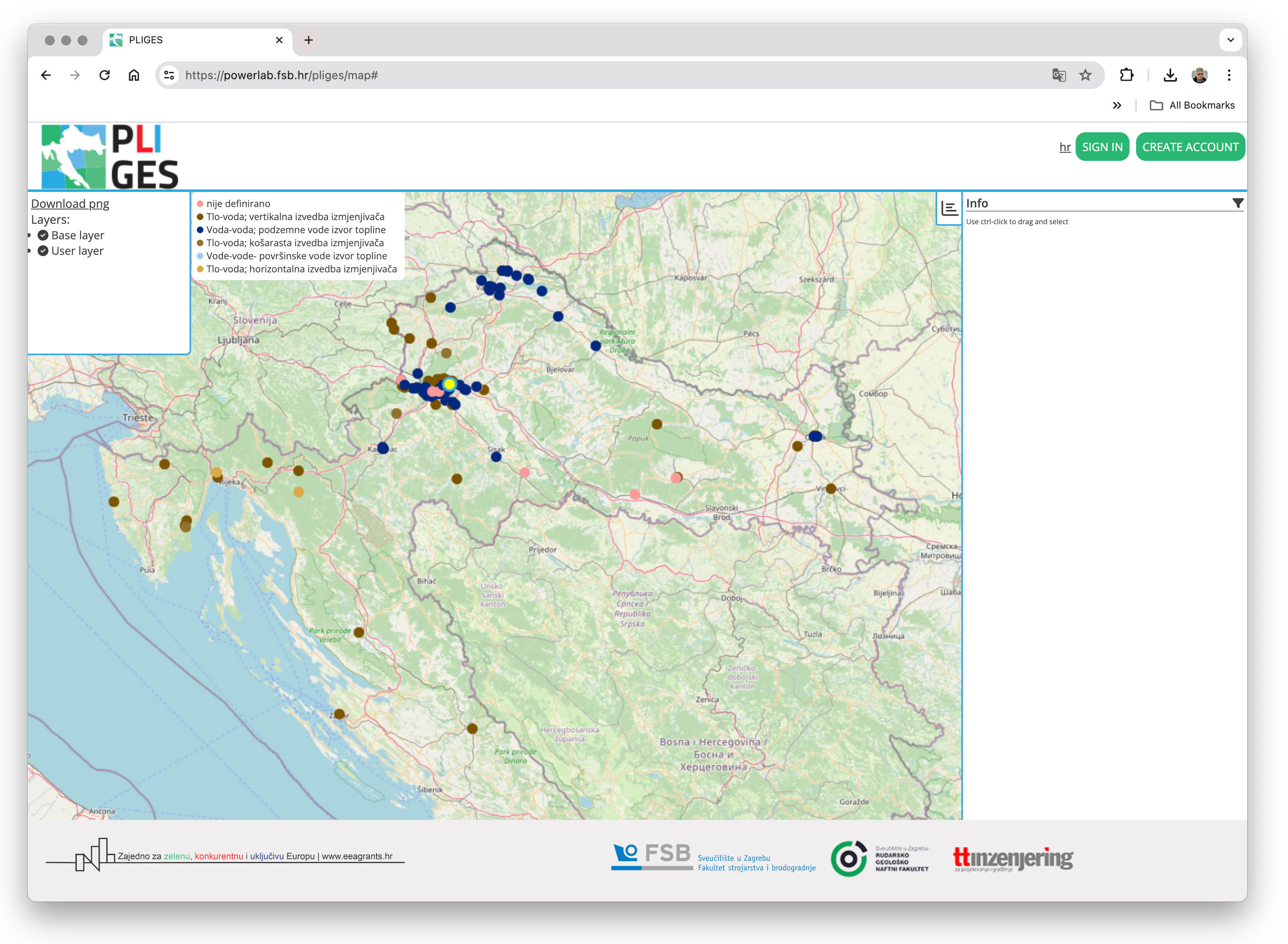
The interactive map of the Geographical Information System is now 'online'
An interactive map for viewing, aggregating and visualizing data, as well as guidelines for using and
moderating data, was completed and published.
The map can be viewed on the page: powerlab.fsb.hr/pliges/map.
Georeferencing of the database on shallow geothermal energy sources was carried out with the map, and visualization of the collected data was made possible. The developed application represents a form of publicly available tool that strengthens the capacities of the professional public and the general population regarding the technical possibilities of shallow geothermal systems in Croatia.